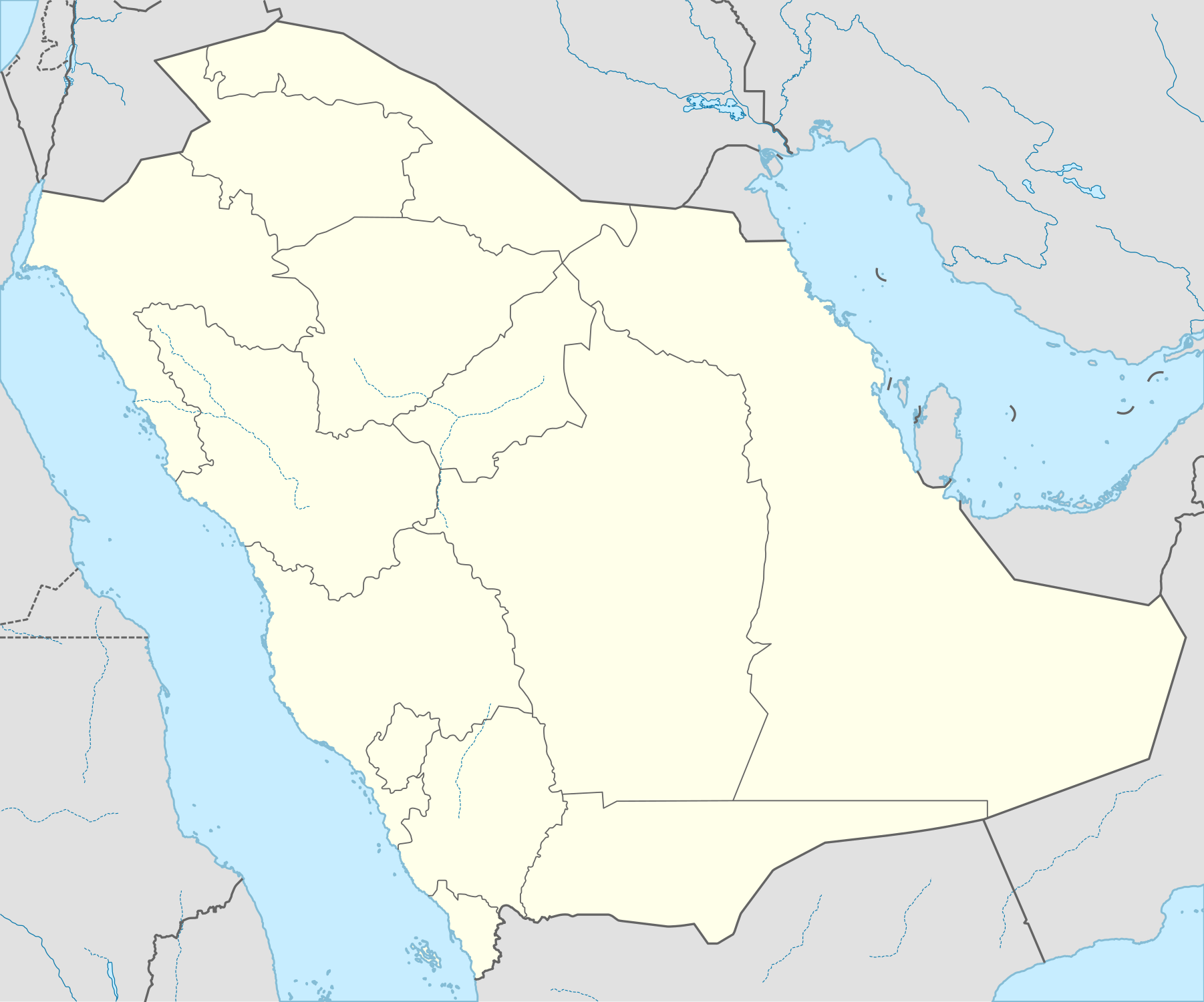
File:Saudi Arabia location map.svg

Size of this PNG preview of this SVG file: 720 × 600 pixels. Other resolutions: 288 × 240 pixels | 576 × 480 pixels | 922 × 768 pixels | 1,229 × 1,024 pixels | 2,459 × 2,048 pixels | 1,802 × 1,501 pixels.
Ing minunang simpan (file) (SVG file, masasabing 1,802 × 1,501 pixels, dagul ning simpan: 389 KB)
Sampulung (summary)
| Description |
العربية: خريطة مواقع السعودية.
إسقاط متساوي المستطيلات (الإسقاط الجغرافي)، شمال / جنوب امتداد 110٪. الحدود الجغرافية للخريطة:
Deutsch: Positionskarte von Saudi-Arabien
Quadratische Plattkarte, N-S-Streckung 110 %. Geographische Begrenzung der Karte:
English: Location map of Saudi Arabia
Equirectangular projection, N/S stretching 110 %. Geographic limits of the map:
|
| Petsa | |
| Pikuanan |
Own work, using
|
| Maki-akda | NordNordWest |
| Permission (Reusing this file) |
I, the copyright holder of this work, hereby publish it under the following license: This file is licensed under the Creative Commons Attribution-Share Alike 3.0 Unported license.
|
| Other versions |
|


|
This map has been made or improved in the German Kartenwerkstatt (Map Lab). You can propose maps to improve as well.
|
| Annotations | This image is annotated: View the annotations at Commons |
Amlat ning simpan (File history)
Mag-click kang petsa/oras ba meng akit ing itsura ning simpan aniang panaun a ita.
| Petsa/Oras | Thumbnail | Sukad | Talagamit | Komentu/Puna | |
|---|---|---|---|---|---|
| salukuyan | 02:00, 16 Disyembri 2024 | | 1,802 × 1,501 (389 KB) | Tombo203e1 | Reverted to version as of 10:08, 22 August 2022, Previous version is more accurate. I live in saudi arabia and most maps showcase the borders on the previous map |
| 14:00, 24 Nobyembri 2024 |  | 1,803 × 1,501 (741 KB) | Turbo Slayer 2021 | Reverted to version as of 10:06, 22 August 2022 (UTC) | |
| 10:08, 22 Agostu 2022 |  | 1,802 × 1,501 (389 KB) | Turbo Slayer 2021 | Reverted Qatari Border | |
| 10:06, 22 Agostu 2022 |  | 1,803 × 1,501 (741 KB) | Turbo Slayer 2021 | Reverted to version as of 05:56, 22 February 2022 (UTC) | |
| 22:49, 24 Mayu 2022 |  | 1,802 × 1,501 (389 KB) | Spesh531 | Updating to show new Qatari-Saudi border | |
| 21:48, 5 Marsu 2022 |  | 1,802 × 1,501 (389 KB) | Flagvisioner | Reverted to version as of 17:49, 13 August 2021 (UTC) | |
| 05:56, 22 Pebreru 2022 |  | 1,803 × 1,501 (741 KB) | Turbo Slayer 2021 | Detail Coastline | |
| 17:49, 13 Agostu 2021 |  | 1,802 × 1,501 (389 KB) | Norschweden | Reverted to version as of 07:19, 21 December 2014 (UTC) | |
| 10:41, 10 Juliu 2021 |  | 1,803 × 1,501 (741 KB) | Turbo Slayer 2021 | Reverted to version as of 17:35, 24 September 2009 (UTC) | |
| 07:19, 21 Disyembri 2014 |  | 1,802 × 1,501 (389 KB) | Spesh531 | updating provincial borders |
↓Suglung kareng simpan (''file links'')
Ing tutuking page links kaniting simpan (file):
Global file usage
The following other wikis use this file:
- Usage on af.wikipedia.org
- Usage on ar.wikipedia.org
- الحج في الإسلام
- سعيد بن زيد
- الهجرة النبوية
- كأس الخليج العربي 2
- مطار الملك عبد العزيز الدولي
- مطار وادي الدواسر المحلي
- جمرة العقبة
- مطار الملك فهد الدولي
- غزوة حنين
- قائمة جامعات السعودية
- قائمة مدن السعودية
- مطار الأمير محمد بن عبد العزيز الدولي
- مطار الأمير نايف بن عبد العزيز الدولي
- مطار الملك عبد الله الإقليمي
- مطار حائل الدولي
- مطار الأمير سلطان بن عبد العزيز الإقليمي
- مطار الطائف الدولي
- مطار الملك سعود المحلي
- مطار العلا الدولي
- مطار الأمير عبد المحسن بن عبد العزيز
- مطار طريف المحلي
- مطار شرورة المحلي
- مطار رفحاء المحلي
- مطار نجران الإقليمي
- مطار مدينة الملك خالد العسكرية
- مطار الجوف
- مطار حفر الباطن بالقيصومة
- مطار عرعر المحلي
- مطار بيشة المحلي
- مطار الدوادمي
- مطار القريات المحلي
- قالب:خريطة السعودية معلمة
- مسجد ذي الحليفة
- الدوري السعودي الممتاز 2007–08
- الجحفة
- الدوري السعودي الممتاز 2006–07
- قرن المنازل
- ذات عرق
- مطار أبها الدولي
- قالب:خريطة مواقع السعودية
- ميقات الحرم
- مسجد التنعيم
- مسجد الراية
- الأحساء
- قاعدة الملك سلمان الجوية
View more global usage of this file.