File:San Jose California aerial view south.jpg
Size of this preview: 800 × 533 pixels. Other resolutions: 320 × 213 pixels | 640 × 427 pixels | 1,024 × 683 pixels | 1,500 × 1,000 pixels.
Ing minunang simpan (file) (1,500 × 1,000 pixel, sukad ning simpan: 785 KB, MIME type: image/jpeg)
| Description |
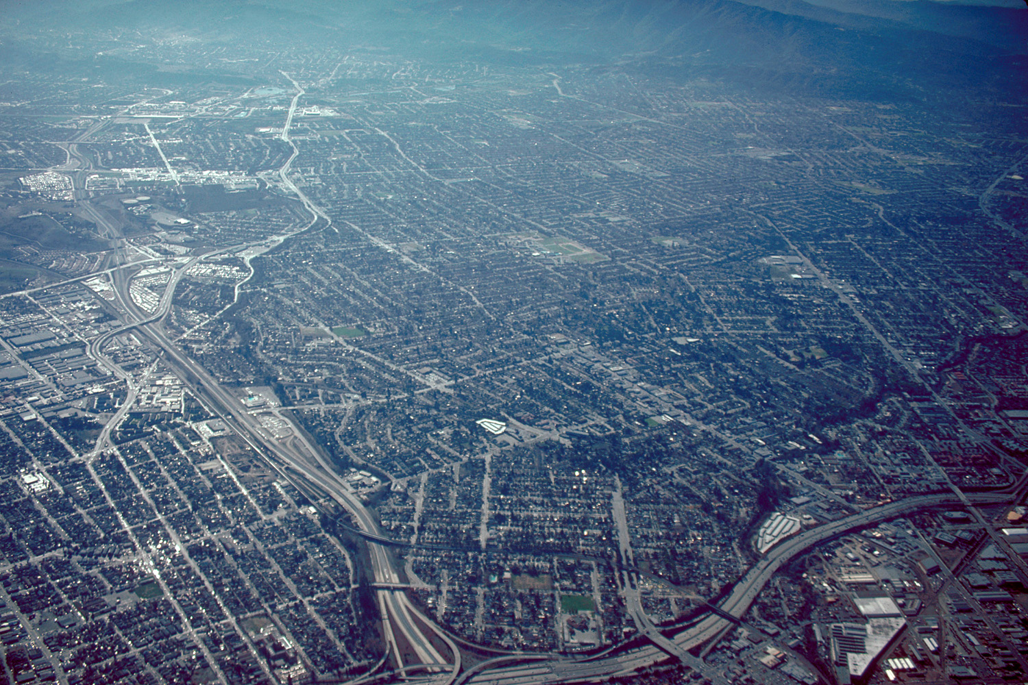
English: Aerial view of San José, California, USA. The intersection of Interstate-280 and California State Route 87 (Guadalupe Parkway) is visible at the bottom of the photograph. View is to the south.
Coordinates: 37°19′7.84″N 121°53′35.92″W / 37.3188444°N 121.8933111°W |
||
| Petsa | not specified or unknown | ||
| Pikuanan |
U.S. Army Corps of Engineers Digital Visual Library Image page Image description page Digital Visual Library home page |
||
| Maki-akda | Robert Campbell | ||
| Permission (Reusing this file) |
This file is licensed under the Creative Commons Attribution-Share Alike 3.0 Unported license.
|
||
| Location | San José, California, USA |

Amlat ning simpan (File history)
Mag-click kang petsa/oras ba meng akit ing itsura ning simpan aniang panaun a ita.
| Petsa/Oras | Thumbnail | Sukad | Talagamit | Komentu/Puna | |
|---|---|---|---|---|---|
| salukuyan | 05:04, 3 Mayu 2007 | | 1,500 × 1,000 (785 KB) | DanMS | {{Information | Description = {{en|Aerial view of San José, California, USA. The intersection of Interstate-280 and California State Route 87 (Guadalupe Parkway) is visible at the bottom of the photograph. View is to the south.}} Coordinates: {{Coor |
↓Suglung kareng simpan (''file links'')
Ing tutuking page links kaniting simpan (file):
Global file usage
The following other wikis use this file:
- Usage on af.wikipedia.org
- Usage on ar.wikipedia.org
- Usage on ckb.wikipedia.org
- Usage on en.wikibooks.org
- Usage on et.wikipedia.org
- Usage on fi.wikipedia.org
- Usage on gu.wikipedia.org
- Usage on hi.wikipedia.org
- Usage on hu.wikipedia.org
- Usage on ia.wikipedia.org
- Usage on id.wikipedia.org
- Usage on ja.wikipedia.org
- Usage on kn.wikipedia.org
- Usage on lmo.wikipedia.org
- Usage on ms.wikipedia.org
- Usage on pl.wikipedia.org
- Usage on simple.wikipedia.org
- Usage on sv.wikipedia.org
- Usage on vi.wikipedia.org