File:RPmap+Boracay.gif
Ala nang mas malino pa.
RPmap+Boracay.gif (266 × 576 pixel, sukad ning simpan: 19 KB, MIME type: image/gif)
Sampulung (summary)
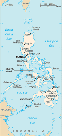
Philippine map with location of Boracay Island indicated
Philippine map sourced from CIA World Factbook (Public Domain)
Boracay Island indication added by myself
Pamamie lisensia
This image is in the public domain because it contains materials that originally came from the United States Central Intelligence Agency's World Factbook.
|
 |
Categories
Amlat ning simpan (File history)
Mag-click kang petsa/oras ba meng akit ing itsura ning simpan aniang panaun a ita.
| Petsa/Oras | Thumbnail | Sukad | Talagamit | Komentu/Puna | |
|---|---|---|---|---|---|
| salukuyan | 02:03, 15 Juliu 2006 | | 266 × 576 (19 KB) | Wtmitchell | Philippine map with location of Boracay Island indicated Philippine map sourced from CIA World Factbook (Public Domain) Boracay Island indication added by myself |
↓Suglung kareng simpan (''file links'')
Ing tutuking page links kaniting simpan (file):
Global file usage
The following other wikis use this file:
- Usage on no.wikipedia.org
- Usage on pl.wikipedia.org
- Usage on sv.wikipedia.org