File:Puertoprincesa chart4343 1904.jpeg
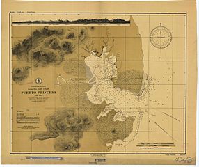
Size of this preview: 715 × 600 pixels. Other resolutions: 286 × 240 pixels | 572 × 480 pixels | 916 × 768 pixels | 1,221 × 1,024 pixels | 2,442 × 2,048 pixels | 3,053 × 2,561 pixels.
Ing minunang simpan (file) (3,053 × 2,561 pixel, sukad ning simpan: 1.31 MB, MIME type: image/jpeg)
| Description |
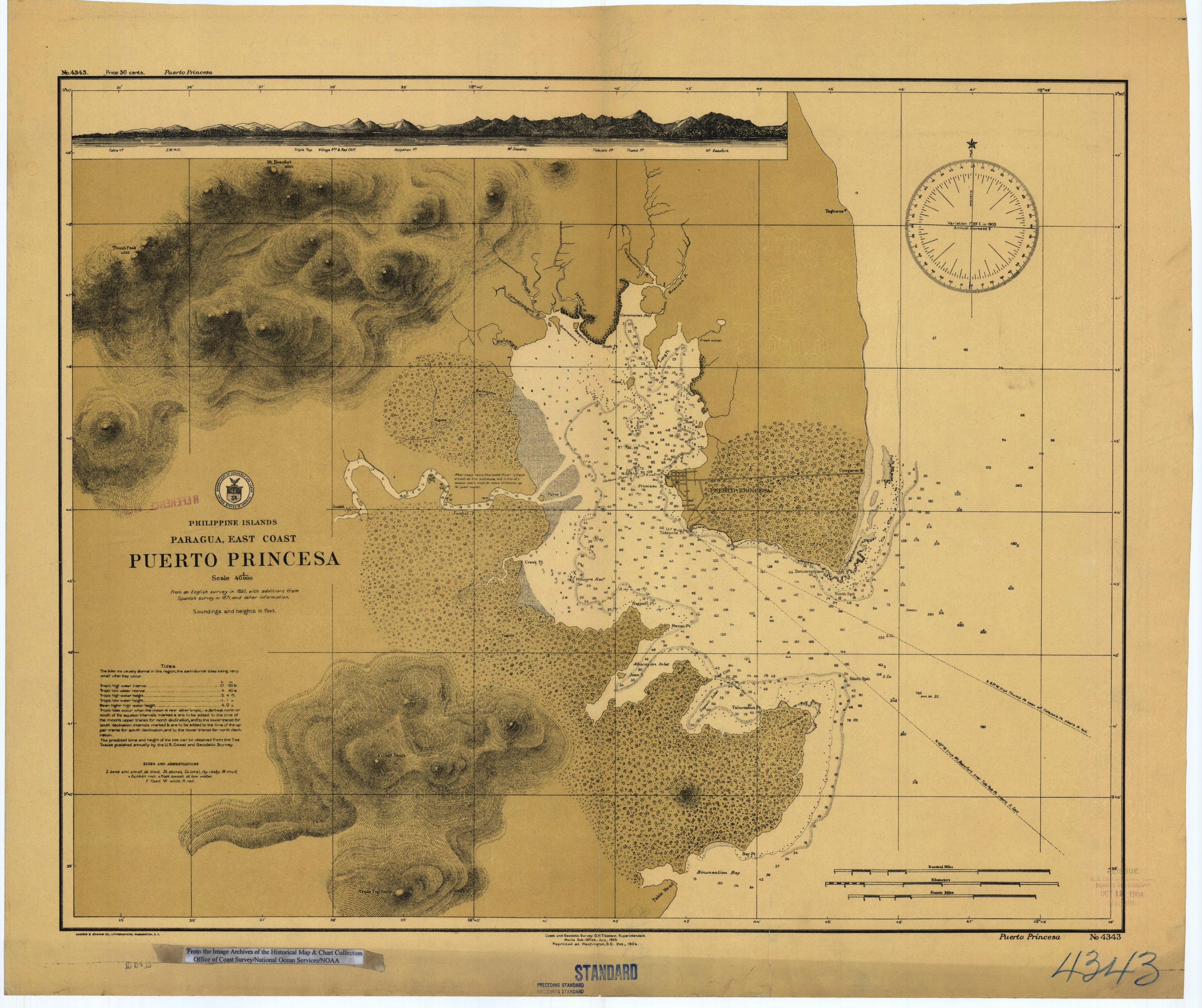
English: Scanned image of US Coast & Geodetic Survey (Manila Office) nautical chart #4343 Puerto Princesa, (Paragua), Palawan, Philippines. |
|||
| Petsa | ||||
| Pikuanan |
English: From the image archives of the Historical Map & Chart Collection/Office of Coast Survey/National Ocean Service/NOAA/United States government. Converted from MrSID to JPEG format for upload to Commons. |
|||
| Maki-akda | Coast and Geodetic Survey O.H. Tittmann, Superintendent. Manila Sub-Office. July 1903 | |||
| Permission (Reusing this file) |
|
Amlat ning simpan (File history)
Mag-click kang petsa/oras ba meng akit ing itsura ning simpan aniang panaun a ita.
| Petsa/Oras | Thumbnail | Sukad | Talagamit | Komentu/Puna | |
|---|---|---|---|---|---|
| salukuyan | 01:41, 17 Marsu 2006 | | 3,053 × 2,561 (1.31 MB) | Cdc~commonswiki | Scanned image of US Coast & Geodetic Survey (Manila Office) nautical chart #4343 Puerto Princesa, (Paragua), Palawan, Philippines, 1904. From the Image Archives of the [http://chartmaker.ncd.noaa.gov/csdl/ctp/abstract.htm Historical Map & Chart Collecti |
↓Suglung kareng simpan (''file links'')
Ing tutuking page links kaniting simpan (file):
Global file usage
The following other wikis use this file:
- Usage on en.wikipedia.org
- Usage on es.wikipedia.org
- Usage on ja.wikipedia.org
- Usage on ka.wikipedia.org
- Usage on ko.wikipedia.org
- Usage on pt.wikipedia.org
- Usage on tl.wikipedia.org