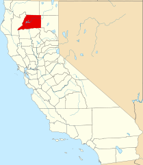
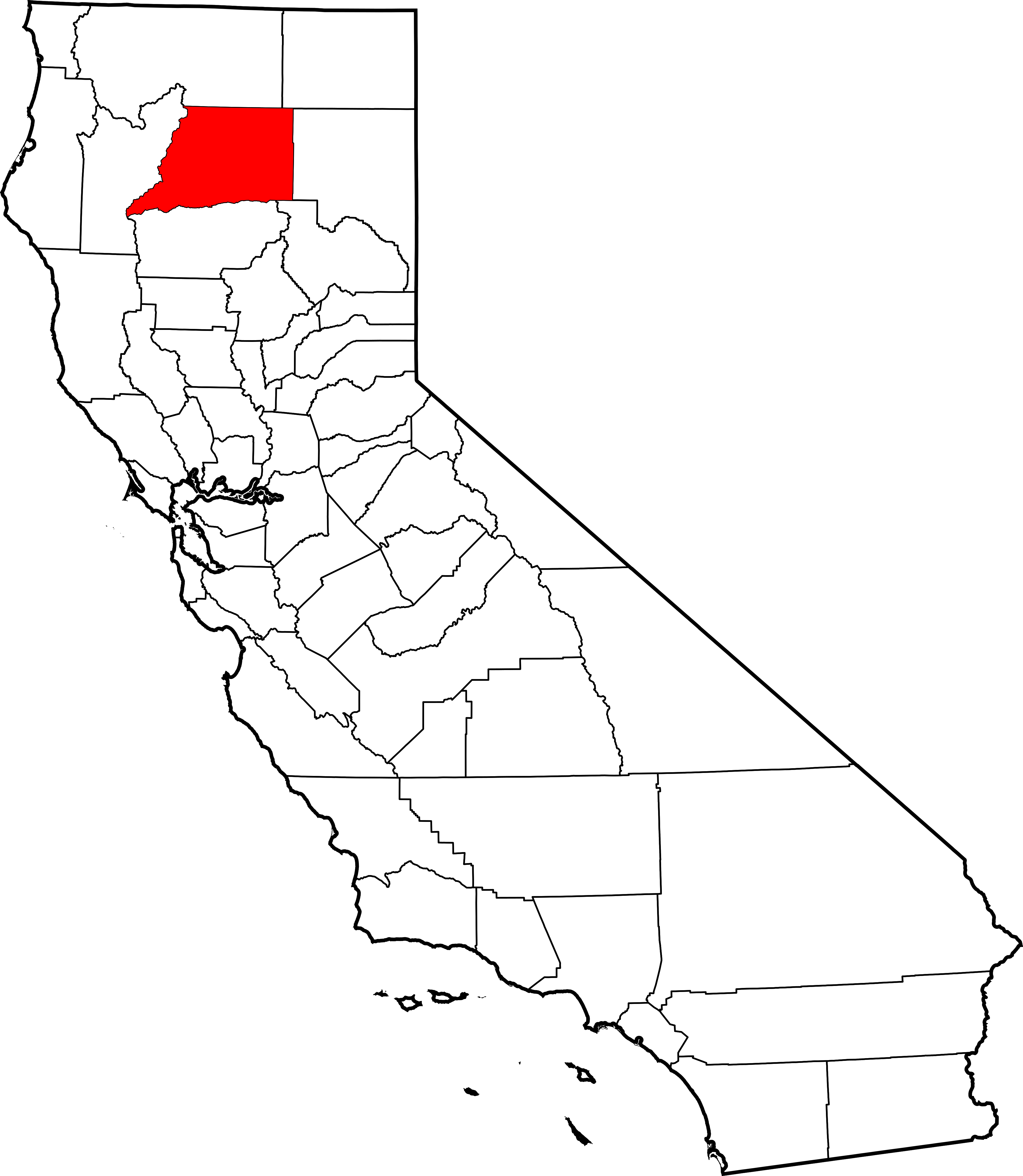
File:Map of California highlighting Shasta County.svg

Size of this PNG preview of this SVG file: 521 × 599 pixels. Other resolutions: 209 × 240 pixels | 417 × 480 pixels | 668 × 768 pixels | 891 × 1,024 pixels | 1,781 × 2,048 pixels | 9,164 × 10,536 pixels.
Ing minunang simpan (file) (SVG file, masasabing 9,164 × 10,536 pixels, dagul ning simpan: 229 KB)
Sampulung (summary)
| Description |
English: This is a locator map showing Shasta County in California. For more information, see Commons:United States county locator maps. |
| Petsa | |
| Pikuanan |
Own work: English: The maps use data from nationalatlas.gov, specifically countyp020.tar.gz on the Raw Data Download page. The maps also use state outline data from statesp020.tar.gz. The Florida maps use hydrogm020.tar.gz to display Lake Okeechobee. |
| Maki-akda | David Benbennick |
Pamamie lisensia
| I, the copyright holder of this work, release this work into the public domain. This applies worldwide. In some countries this may not be legally possible; if so: I grant anyone the right to use this work for any purpose, without any conditions, unless such conditions are required by law. |
Amlat ning simpan (File history)
Mag-click kang petsa/oras ba meng akit ing itsura ning simpan aniang panaun a ita.
| Petsa/Oras | Thumbnail | Sukad | Talagamit | Komentu/Puna | |
|---|---|---|---|---|---|
| salukuyan | 10:27, 12 Pebreru 2006 | | 9,164 × 10,536 (229 KB) | David Benbennick | {{subst:User:Dbenbenn/clm|county=Shasta County|state=California}} |
↓Suglung kareng simpan (''file links'')
Ing tutuking page links kaniting simpan (file):
Global file usage
The following other wikis use this file:
- Usage on ar.wikipedia.org
- Usage on az.wikipedia.org
- Usage on ban.wikipedia.org
- Usage on be.wikipedia.org
- Usage on bg.wikipedia.org
- Usage on bpy.wikipedia.org
- Usage on ca.wikipedia.org
- Anderson (Califòrnia)
- Big Bend (Comtat de Shasta)
- Burney (Califòrnia)
- Cottonwood (Califòrnia)
- Fall River Mills
- French Gulch
- Lakehead-Lakeshore
- McArthur (Califòrnia)
- Millville (Califòrnia)
- Montgomery Creek
- Palo Cedro
- Redding (Califòrnia)
- Round Mountain (Califòrnia)
- Shasta Lake
- Shingletown
- Llista de comtats de Califòrnia
- Ranxeria Redding
- Plantilla:Comtat de Shasta
- Ranxeria Big Bend
- Ranxeria Montgomery Creek
- Ranxeria Roaring Creek
- Usage on ceb.wikipedia.org
- Usage on ce.wikipedia.org
- Usage on cs.wikipedia.org
- Usage on cy.wikipedia.org
- Usage on da.wikipedia.org
- Usage on de.wikipedia.org
View more global usage of this file.