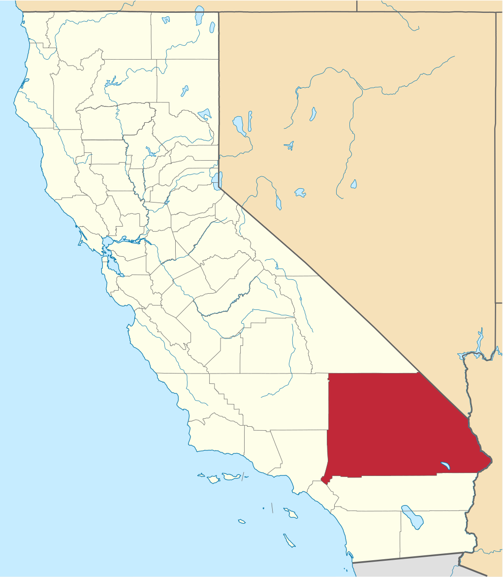
File:Map of California highlighting San Bernardino County.svg

Size of this PNG preview of this SVG file: 523 × 599 pixels. Other resolutions: 209 × 240 pixels | 419 × 480 pixels | 670 × 768 pixels | 894 × 1,024 pixels | 1,787 × 2,048 pixels | 1,022 × 1,171 pixels.
Ing minunang simpan (file) (SVG file, masasabing 1,022 × 1,171 pixels, dagul ning simpan: 495 KB)
Sampulung (summary)
| Description | David Benbennick made this map. For more information, see Commons:United States county locator maps. |
| Petsa | 12 Pebreru 2006 (original upload date) |
| Pikuanan | No machine-readable source provided. Own work assumed (based on copyright claims). |
| Maki-akda | No machine-readable author provided. David Benbennick assumed (based on copyright claims). |
Pamamie lisensia
| I, the copyright holder of this work, release this work into the public domain. This applies worldwide. In some countries this may not be legally possible; if so: I grant anyone the right to use this work for any purpose, without any conditions, unless such conditions are required by law. |
Amlat ning simpan (File history)
Mag-click kang petsa/oras ba meng akit ing itsura ning simpan aniang panaun a ita.
| Petsa/Oras | Thumbnail | Sukad | Talagamit | Komentu/Puna | |
|---|---|---|---|---|---|
| salukuyan | 18:31, 25 Nobyembri 2016 | | 1,022 × 1,171 (495 KB) | Spartan7W | Update HQ map |
| 10:27, 12 Pebreru 2006 |  | 9,164 × 10,536 (229 KB) | David Benbennick | {{subst:User:Dbenbenn/clm|county=San Bernardino County|state=California}} |
↓Suglung kareng simpan (''file links'')
Ing tutuking page links kaniting simpan (file):
Global file usage
The following other wikis use this file:
- Usage on ar.wikipedia.org
- Usage on arz.wikipedia.org
- Usage on az.wikipedia.org
- Usage on ban.wikipedia.org
- Usage on be.wikipedia.org
- Usage on bg.wikipedia.org
- Usage on bn.wikipedia.org
- Usage on bpy.wikipedia.org
- Usage on ca.wikipedia.org
- Vidal (Califòrnia)
- San Bernardino (ciutat de Califòrnia)
- Fontana (Califòrnia)
- Adelanto
- Apple Valley (Califòrnia)
- Barstow (Califòrnia)
- Big Bear City
- Big Bear Lake
- Big River
- Bloomington (Califòrnia)
- Bluewater (Califòrnia)
- Chino (Califòrnia)
- Chino Hills
- Colton
- Crestline (Califòrnia)
- Grand Terrace
- Hesperia (Califòrnia)
- Highland (Califòrnia)
- Joshua Tree
- Lake Arrowhead (Califòrnia)
- Lenwood
- Loma Linda (Califòrnia)
- Mentone (Califòrnia)
- Montclair (Califòrnia)
- Morongo Valley
- Mountain View Acres
- Muscoy
- Nebo Center
- Needles
- Ontario (Califòrnia)
- Rancho Cucamonga
- Redlands (Califòrnia)
- Rialto (Califòrnia)
- San Antonio Heights
- Twentynine Palms
- Upland (Califòrnia)
- Victorville
- Wrightwood
- Yucaipa
- Yucca Valley
View more global usage of this file.