File:Location Germany EU Europe.png

Size of this preview: 713 × 600 pixels. Other resolutions: 285 × 240 pixels | 571 × 480 pixels | 913 × 768 pixels | 1,218 × 1,024 pixels | 2,000 × 1,682 pixels.
Ing minunang simpan (file) (2,000 × 1,682 pixel, sukad ning simpan: 555 KB, MIME type: image/png)
Sampulung (summary)
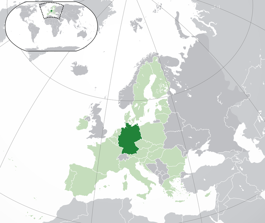
| Description | Location map: Germany (dark green) / European Union (light green) / Europe (dark grey); inspired by and consistent with general country locator maps by User:Vardion, et al. | |||
| Petsa | ||||
| Pikuanan | Own work | |||
| Maki-akda | Quizimodo | |||
| Other versions |
|


Pamamie lisensia
| This work has been released into the public domain by its author, I, Quizimodo. This applies worldwide. In some countries this may not be legally possible; if so: I, Quizimodo grants anyone the right to use this work for any purpose, without any conditions, unless such conditions are required by law. |
Amlat ning simpan (File history)
Mag-click kang petsa/oras ba meng akit ing itsura ning simpan aniang panaun a ita.
| Petsa/Oras | Thumbnail | Sukad | Talagamit | Komentu/Puna | |
|---|---|---|---|---|---|
| salukuyan | 18:23, 28 Juliu 2020 | | 2,000 × 1,682 (555 KB) | Maphobbyist | Update: UK left the EU |
| 17:51, 1 Oktubri 2014 |  | 2,056 × 1,710 (364 KB) | Maphobbyist | Update: Croatia | |
| 01:15, 18 Juniu 2007 |  | 2,056 × 1,710 (175 KB) | Quizimodo~commonswiki | image (updated) | |
| 09:38, 17 Juniu 2007 |  | 2,056 × 1,710 (227 KB) | Quizimodo~commonswiki | image (tweaked) | |
| 08:09, 17 Juniu 2007 |  | 2,056 × 1,710 (226 KB) | Quizimodo~commonswiki | {{Information |Description=Location map: Germnay (dark green) / European Union (light green) / Europe (dark grey); inspired by and consistent with general country locator maps by User:Vardion, et al |Source=self-made |Date=17 June 2007 |Author= [[User:Qui |
↓Suglung kareng simpan (''file links'')
Ing tutuking page links kaniting simpan (file):
Global file usage
The following other wikis use this file:
- Usage on an.wikipedia.org
- Usage on ar.wikipedia.org
- Usage on ar.wikinews.org
- Usage on cs.wikipedia.org
- Usage on de.wiktionary.org
- Usage on en.wikipedia.org
- Usage on es.wikipedia.org
- Categoría:Baviera
- Categoría:Renania del Norte-Westfalia
- Categoría:Baden-Wurtemberg
- Categoría:Schleswig-Holstein
- Categoría:Sajonia
- Categoría:Renania-Palatinado
- Categoría:Mecklemburgo-Pomerania Occidental
- Categoría:Turingia
- Categoría:Sajonia-Anhalt
- Categoría:Hesse
- Categoría:Brandeburgo
- Categoría:Sarre
- Categoría:Baja Sajonia
- Categoría:Hamburgo
- Anexo:Embajadores de Honduras en Alemania
- Categoría:Bremen (estado)
- Usage on ga.wiktionary.org
- Usage on incubator.wikimedia.org
- Usage on ka.wikipedia.org
- Usage on krc.wikipedia.org
- Usage on lad.wikipedia.org
- Usage on myv.wikipedia.org
- Usage on new.wikipedia.org
- Usage on pag.wikipedia.org
- Usage on qu.wikipedia.org
- Usage on ro.wikipedia.org
- Usage on ro.wikibooks.org
- Usage on ru.wikipedia.org
- Usage on scn.wikipedia.org
- Usage on sv.wikipedia.org
- Usage on uk.wikivoyage.org
- Usage on yi.wikipedia.org
View more global usage of this file.